Spatial visualization
3D Visual
Mapping
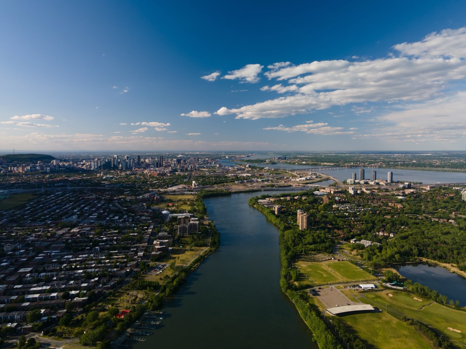
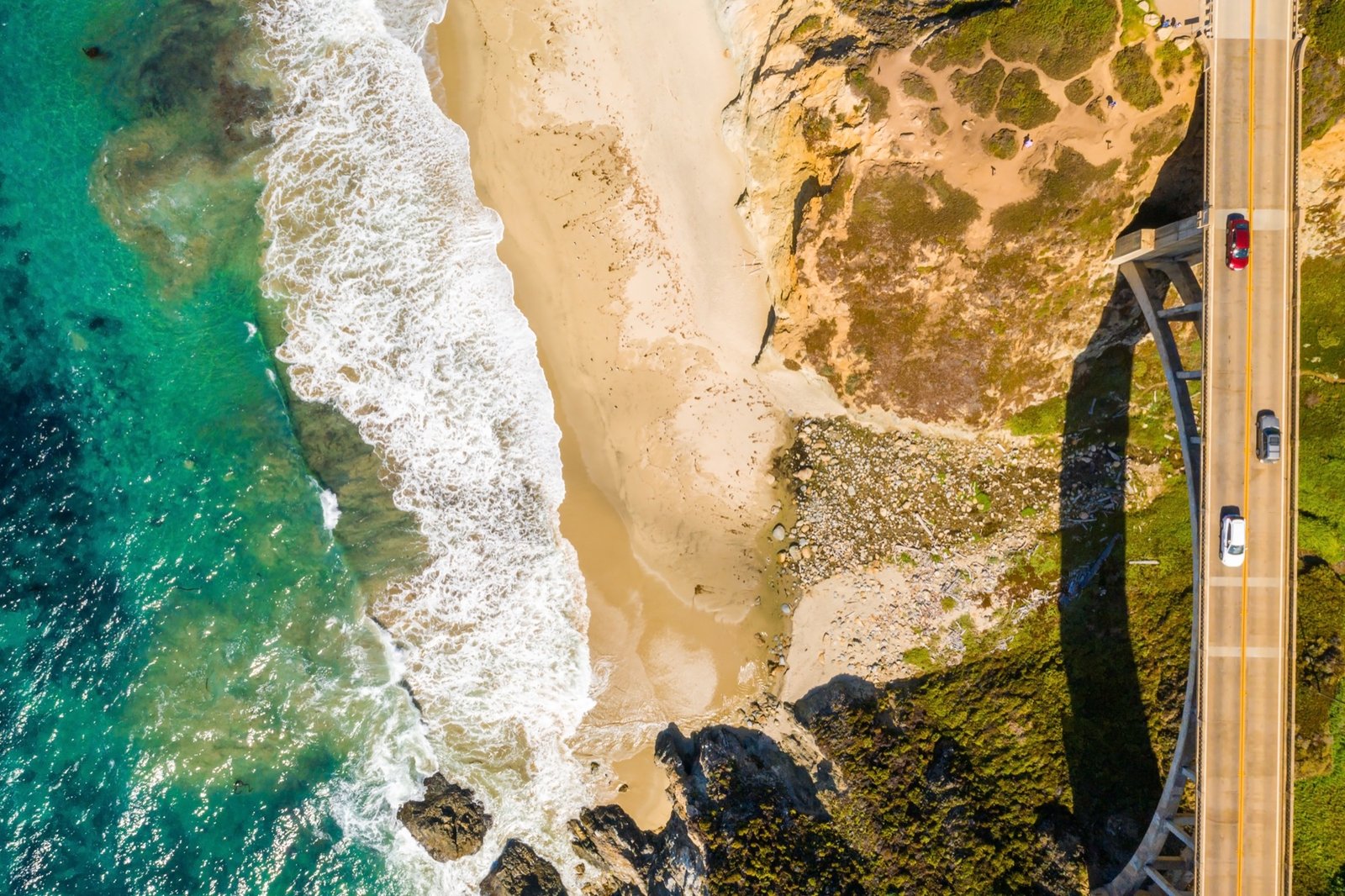
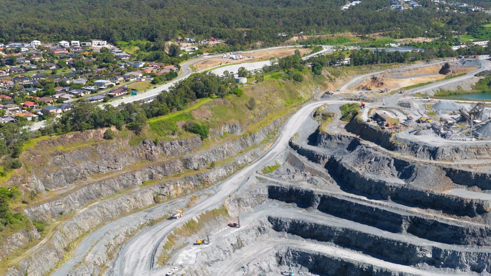
From reality to digital. We turn aerial capture into measurable, explorable three-dimensional environments.
The idea
A drone sees the same point from many angles. From thousands of overlapping frames we reconstruct geometry that can be measured, sectioned and explored — a faithful digital twin of a real place.
01
Real world
02
Aerial capture
03
Photogrammetry
04
3D reconstruction
05
Visual output
Deliverables
What we output
A
Orthomosaic
A single, georeferenced, measurable image of the whole site — stitched at full resolution.
B
Point Cloud
Millions of 3D points describing the exact geometry of the environment.
C
Textured Mesh
A photoreal 3D surface — the digital twin you can rotate, section and present.
D
Terrain & Volumes
Elevation models and survey-grade volume measurement, on a repeatable schedule.
In the field
All work